
Geonarratives CAM
Environmental science told through interactive maps.
At CAM, we believe that science should not only be produced, but also shared.
Through this section, we present our own research projects developed with ArcGIS StoryMaps tools, which integrate spatial analysis, fieldwork, and technical data to interactively narrate complex environmental issues.
In each Geonarrative, you can visually explore studies on environmental geology, geochemometrics, thermal microbiota, hydrogeology, and climate change, with a technical yet accessible perspective, useful for researchers, consultants, students, and decision-makers. Learn how we connect the territory with technical knowledge, and how our research transforms data into understanding.
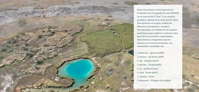
Geoquimiometría, Geología Ambiental y Estructura de la Microbiota en Sistemas Geotermales de Baja-Media Entalpía del Noreste de México
Corporación Ambiental de México June, 2023
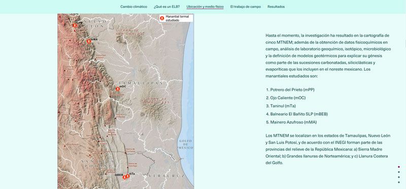
Study of hot springs in Northeast Mexico to understand the effects of climate change on their ecosystems
Corporación Ambiental de México
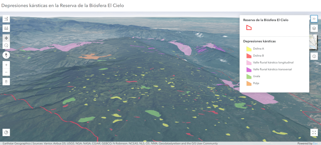
Detailed characterization of the karst depressions located in the El Cielo Biosphere Reserve in Tamaulipas, Mexico, to improve understanding of the region’s underground aquifer systems and critical ecosystems.
View in Terra Digitalis Diciembre 2022
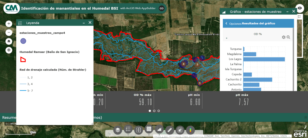
Analysis of the Baño de San Ignacio wetland in Nuevo León, Mexico, using advanced technologies such as unmanned aerial vehicles and geographic information systems. The ecosystem’s reliance on groundwater discharge to maintain its biodiversity and hydrological functions is highlighted.
View in Terra Digitalis Diciembre 2024