

Geomatics
Technology and spatial analysis for environmental studies
What is Geomatics?
Geomatics is a discipline that combines geosciences and spatial information technologies such as satellites, drones, Geographic Information Systems (GIS), and remote sensing. It allows us to capture, process, and analyze data to better understand our natural environment.
Our Geomatics Services
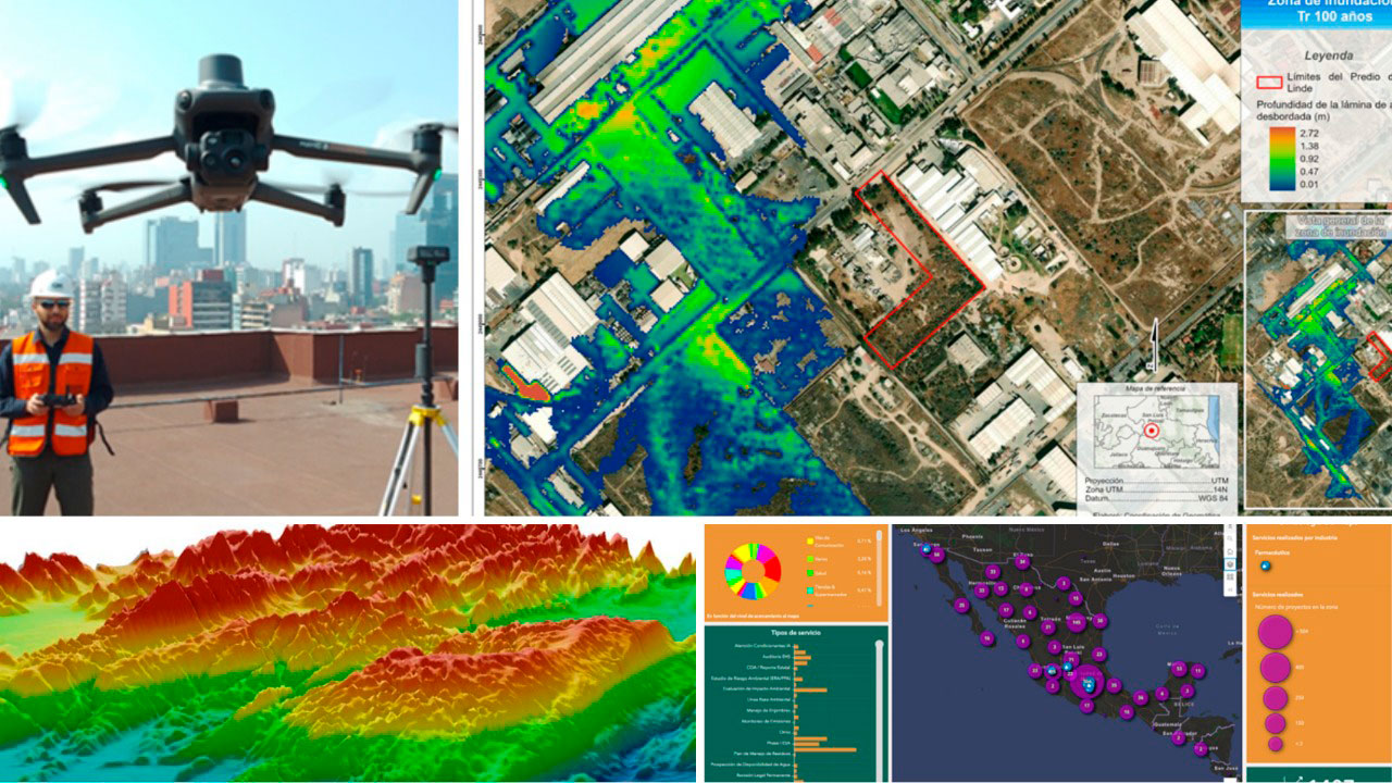
At CAM, we have state-of-the-art equipment, specialized software, and specialists in spatial analysis. This allows us to offer high-precision solutions for environmental projects.
We offer:
- Cloud-based interactive mapping.
- Assessment of water vulnerability conditions.
- Identification of sensitive and ecologically important areas.
- Identification of flood hazards.
- Regional physical and environmental characterization.
- Hydrological studies.
- Soil erosion studies.
- Drone flights and mapping.
- Specialized cartography for environmental impact studies.
- Landscape studies.
- Identification of soil and groundwater contamination.
- Projection of forest cover changes.
- And other studies customized to meet the client’s needs.
Do you want accurate and reliable spatial information for your project?
Contact us for advice and discover how geomatics can optimize your environmental assessment.